
Recreational Weather Update on July 25th, 2022 at 12:37 PM
Good afternoon, the window cast shows some smoke and haze stuck in the high country at this time. With the haze sitting at the top of the Sherwin grade and then up to Mammoth Lakes and northward.
Could be so much worse, but we are blessed today that the winds are moving the smoke plume away from the area.
Hopefully, the south-to southeast flow will push the rest of the haze out of the high country over the next 24 hours.
If you coming up do expect haze with smoke at times for the foreseeable future. Hard to forecast what happens day by day, just be prepared with KN 95 Masks and you will be good to go.
I plan on doing updates daily now with what we can expect with the air quality so stay tuned in. 
As we move into a new week the T Storms I mentioned last Thursday are still on track for this week and into the upcoming weekend. Starting today expect a nice push of monsoonal moisture that will bring us cumulus buildups and scattered t storms into the weekend.
Today unfortunately it looks like there could be some stray dry storms with lightning strikes and wind gusts near the dry storms in the 50-60 MPH range. If you see any strikes or smoke report it to 911 immediately
By Tuesday precipitable water values will be in the (0.7-0.8 inch range so the Thunder Storms will have some decent moisture to work with. Any big storms that do go off could drop a quarter inch of rain along with some hail possible in the higher elevations. Watch for flash flooding in areas of heavy rain, especially on Tuesday.
Chances of T Storms are up to 40% on Tuesday and 30% on Wednesday. Expect those numbers to change over the next 24 hours.
High temperatures at the resort levels at 8900 feet (Main Lodge and the Mammoth Lakes Basin) will be in the upper 60s to low 70s the next few days and then temperatures come up 3-5 degrees by late in the week.
Here are the links to the specific highs, lows, and wind speeds for many of the major recreation points in the Eastern Sierra: Mammoth Mountain Main Lodge, Top of Mammoth Mountain, Mammoth Lakes, June Lake, Crowley Lake, Toms Place, Rock Creek Lake, Bishop & Mill Pond, South Lake.


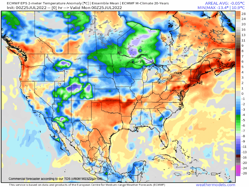
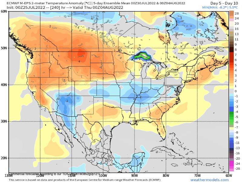
EPS 10-Day Temperature Anomaly Chart
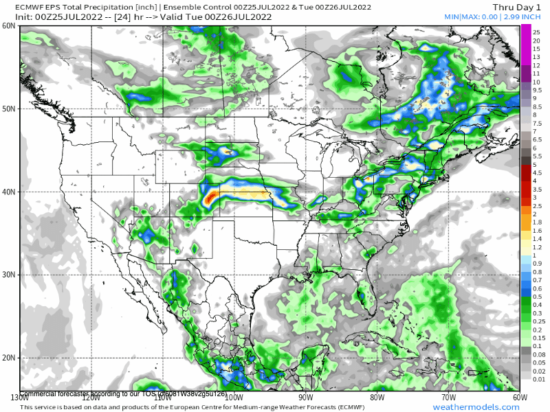
EPS 10 Day 24 Hour Precipitation Chart
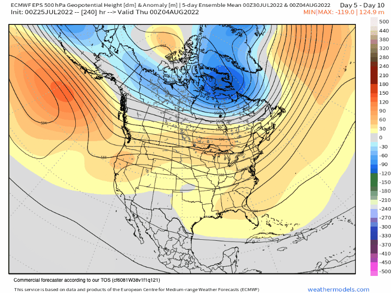
7-26-2022 @ 1 PM This is the EPS 45 Day Height Anomaly GIF.
EPS 45 Day Temperature Anomaly
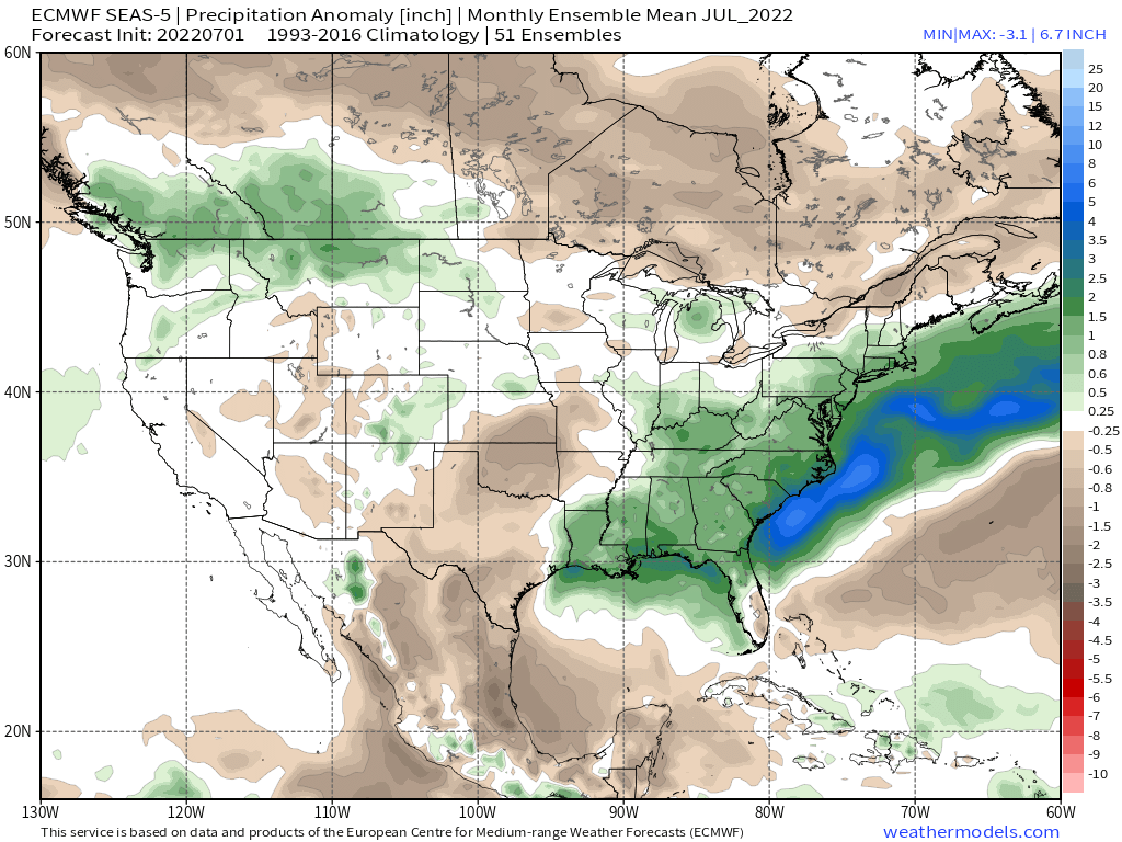
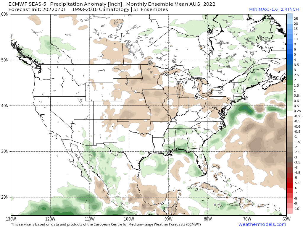
EPS 45 Day Precipitation Anomaly Chart


Who Are We?
 Steve Taylor – Mammoth Snowman – Over the last 30+ years, Snowman has spent countless hours studying and learning about Mammoth Mountain Weather and Snow Conditions first hand. He has been skiing around the hill with marked ski poles since March of 1991 so he can measure the fresh snowfall amounts out on the hill.
Snowman started blogging this information back in 1990 on the old Mammoth BBS system, then the RSN Forums and then on to MammothSnowman.com in 2004 with Video & Photo Blog report. (No YouTube back then). Facebook got added to the fold back in 2008 and then the Facebook Group in 2016.
Reports, videos, and photos from the website have been featured on both local TV Stations here in Mammoth, along with AP, Fox, ABC, CBS, and NBC News.
 Ted Schlaepfer – Mammoth WeatherGuy – The Powder Forecast – Posted Tuesday and Fridays at 5 PM November into Mid May. These forecasts are now responsible for many people getting multiple powder days on Mammoth Mountain over the years.
Ted’s Bio: Ted has been a full-time Meteorologist (CCM) for the past 25+ years. He has always been fascinated with the weather,” skiing was just a natural extension of my love for snow and rain. I started skiing at age 5, first discovered Mammoth in 1979 as a youth, and have been a regular visitor since the late ’80s.”.
Here is the link to The WeatherGuys Powder Forecast Page.
Click Here to Learn More About the People Who Make MammothSnowman.com a Reality


